Manalapan Brook facts for kids
Quick facts for kids Manalapan Brook |
|
|---|---|

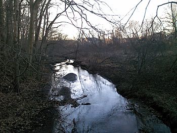
Manalapan Brook facing west
|
|
| Country | United States |
| Physical characteristics | |
| Main source | 40°11′29.2″N 74°23′35.3″W / 40.191444°N 74.393139°W |
| Basin features | |
| Progression | Raritan River, Atlantic Ocean |
| River system | Raritan River system |
| Basin size | 43 sq mi (110 km2) |

Manalapan Brook is a tributary of the South River in Monmouth and Middlesex counties, New Jersey in the United States.
Course
The Manalapan Brook's source is at 40°11′26″N 74°23′51″W / 40.19056°N 74.39750°W in western Monmouth County, a few miles south of Monmouth Battlefield State Park, roughly adjacent to the headwaters of Matchaponix Brook. The 105 mile brook flows generally north, traversing, along with its tributaries, much of Middlesex and Monmouth Counties.
Its drainage basin, the Manalapan Brook watershed, is a 43-square-mile (110 km2) area, which includes the municipalities of Millstone Township, Freehold Township, Manalapan Township, Englishtown, Monroe Township, Jamesburg, Helmetta, Spotswood, South Brunswick Township, and East Brunswick Township.
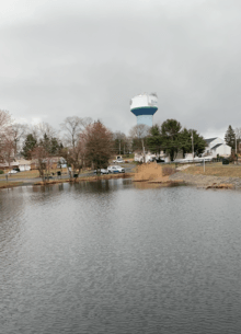
There are man-made lakes created by dames alongside the course of the brook, including: Bulk's Lake (near the Charleston Springs Golf Course in Millstone), Millhurst Pond (Manalapan), Lake Manalapan (Jamesburg), Helmetta Pond (Helmetta), and Devoe Lake (Spotswood).
After crossing the dammed section named Lake Manalapan in Jamesburg, Manalapan Brook continues north along CR 615 (Main Street) before flowing into Devoe Lake in Spotswood. The flow then merges with Matchaponix Brook in Spotswood forming the South River. It crosses under Route 18 and continues into the Raritan River, where it ends at 40°23′33″N 74°22′58″W / 40.39250°N 74.38278°W in Old Bridge Township.
Name
Manalapan is Lenape for "good cultivation" or "good country". The name also derives from Manalapan Township, one of the several municipalities the stream flows through.
Images for kids


