Park Valley (Arizona) facts for kids
Quick facts for kids Park Valley |
|
|---|---|
| Length | 15 mi (24 km) |
| Width | 12 mi (19 km) |
| Geography | |
| Country | United States |
| State | Arizona |
| Region | Gila River Valley ((northwest)-Sonoran Desert) |
| District | Yuma County, Arizona |
| Population centers | Dateland AZ, Sentinel AZ and Hyder, AZ |
| Borders on | Hyder Valley-NE Palomas Mountains-NW San Cristobal Valley-SW Sentinel Plain-SE |
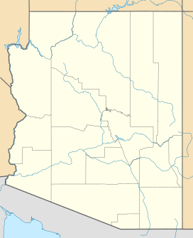
The Park Valley of Arizona is a small, northwest by southeast trending valley centered on the Gila River in central-east Yuma County. The southeast border of the valley is the northern Sentinel Plain of Maricopa County which drains northwestwards toward the Gila River Valley.
Interstate 8 is on the south perimeter of the valley, with towns on I-8 of Dateland in the southwest, Aztec on the center-south, and further east, Sentinel on the southeast.
Tenmile Wash, of the Tenmile Wash Watershed has its outfall on the Gila River on the southwest of Park Valley. The coordinates for Dateland, Arizona, on the southwest border of Park Valley are 32°47′47″N 113°32′28″W / 32.79639°N 113.54111°W

All content from Kiddle encyclopedia articles (including the article images and facts) can be freely used under Attribution-ShareAlike license, unless stated otherwise. Cite this article:
Park Valley (Arizona) Facts for Kids. Kiddle Encyclopedia.

