Kunar River facts for kids
Quick facts for kids Kunar |
|
|---|---|
 |
|
| Other name(s) | Mastuj, Chitral, Kama |
| Country | Pakistan, Afghanistan |
| province | Khyber Pakhtunkhwa, Nuristan, Kunar, Nangarhar |
| Physical characteristics | |
| Main source | Hindu Kush Mountains |
| River mouth | Kabul River Jalalabad |
| Length | 480 km (300 mi) |
| Basin features | |
| Basin size | 2,600 km2 (1,000 sq mi) |
| Tributaries |
|
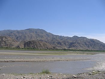
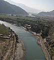
The Kūnaṛ River or Kama River is about 480 km long, located in northern Khyber Pakhtunkhwa, Pakistan, and eastern Afghanistan. It emerges just south of the Broghil Pass, in the upper part of Chitral District of Khyber Pakhtunkhwa near the Afghan border.
The river system is fed by melting glaciers and snow of the Hindu Kush mountains. The Kunar River is a tributary of the Kabul River, which is in turn a tributary of the Indus River.
The river has great untapped hydropower potential which could be harnessed for cheap hydro electricity generation. Currently, under construction Golen Gol power project is also located on this river but its further development will lead the region on the path of progress
Other pages
Images for kids
See also
 In Spanish: Río Kunar para niños

All content from Kiddle encyclopedia articles (including the article images and facts) can be freely used under Attribution-ShareAlike license, unless stated otherwise. Cite this article:
Kunar River Facts for Kids. Kiddle Encyclopedia.

