Bihar facts for kids
Quick facts for kids
Bihar
|
||
|---|---|---|
|
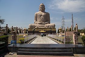
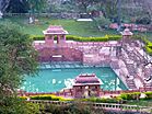
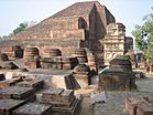
Clockwise from top: Great Buddha Statue at Bodh Gaya, ruins of ancient Nalanda University, Madhubani painting from Mithila region, Brahma Kund hot springs in Rajgir
|
||
|
||
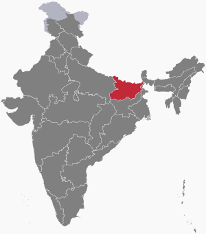
Location of Bihar in India
|
||
| Country | India | |
| Formation |
|
|
| Statehood | 26 January 1950 | |
| Capital | Patna | |
| Largest city | Patna | |
| Districts | 38 | |
| Area | ||
| • Total | 94,163 km2 (36,357 sq mi) | |
| Area rank | 12th | |
| Population
(2011)
|
||
| • Total | 103,804,637 | |
| • Rank | 3rd | |
| • Density | 1,102/km2 (2,850/sq mi) | |
| • Major Ethnolinguistic Groups | Bhojpuris Maithils Magahis | |
| Demonym(s) | Bihari | |
| GDP (2017–18) | ||
| • Total | ₹4.88 lakh crore (US$83 billion) | |
| • Per capita | ₹38,860 (US$660) | |
| Languages | ||
| • Official | Hindi | |
| • Additional official | Maithilia, Urdub | |
| Time zone | UTC+05:30 (IST) | |
| UN/LOCODE | INBR | |
| ISO 3166 code | IN-BR | |
| Vehicle registration | BR | |
| HDI (2017) | ||
| Literacy (2011) | 63.82% | |
| Sex ratio (2011) | 918 ♀/1000 ♂ | |
|
||
Bihar is a state in the Republic of India, covering an area of 38,202 mi² (99,200 km²). It is bigger than Hungary but smaller than South Korea. The capital is Patna. Bihar is bordered by the Indian states of Uttar Pradesh to the west, Jharkhand to the south, and West Bengal to the east. To the north of Bihar is the country of Nepal. In traditional Indian geography it falls under the East Indian zone. It is one of the poorest regions in India.
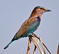
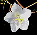
Provincial symbols of Bihar
Images for kids
-
Patna river port on national inland waterways-1 at Gai Ghat
See also
 In Spanish: Bihar para niños

All content from Kiddle encyclopedia articles (including the article images and facts) can be freely used under Attribution-ShareAlike license, unless stated otherwise. Cite this article:
Bihar Facts for Kids. Kiddle Encyclopedia.

