Pearson, Wisconsin facts for kids
Quick facts for kids
Pearson, Wisconsin
|
|
|---|---|

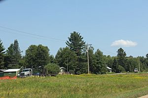
Housing in Pearson
|
|
| Country | |
| State | |
| County | Langlade |
| Town | Ainsworth |
| Elevation | 465 m (1,526 ft) |
| Time zone | UTC-6 (Central (CST)) |
| • Summer (DST) | UTC-5 (CDT) |
| ZIP code |
54462
|
| Area code(s) | 715 & 534 |
| GNIS feature ID | 1571127 |
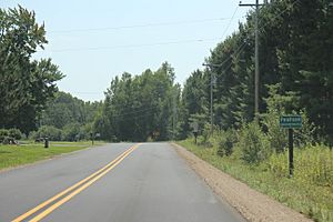
Pearson is an unincorporated community in the town of Ainsworth, Langlade County, Wisconsin, United States. Pearson is 5 miles (8 km) west of Pickerel and 17 miles (27 km) north-northeast of Antigo, the county seat of Langlade County. The community is situated on Pickerel Creek near its confluence with the Wolf River. County Highway T runs through Pearson; the closest state highway to the community is Wisconsin State Highway 55 in Pickerel.
Pearson had a post office, which closed on May 4, 1996; ZIP code 54462 still serves the community.
The Northeast Illinois Council of the Boy Scouts of America runs a summer camp, Ma-Ka-Ja-Wan Scout Reservation, in Pearson.
The Pickerel Volunteer Fire Department Station is located east of the community on Johnson Road.
See also
 In Spanish: Pearson (Wisconsin) para niños


