
Image: WestBankGovernatesNonLabeled
Size of this preview: 297 × 600 pixels. Other resolutions: 119 × 240 pixels | 648 × 1,308 pixels.
Original image (648 × 1,308 pixels, file size: 101 KB, MIME type: image/png)
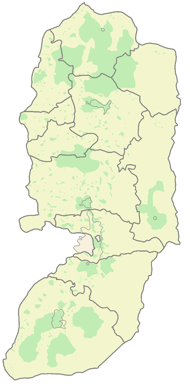
Description: West Bank Areas designated area A (Under Palestinian Authority Control) PA's Governorate boarders
Title: WestBankGovernatesNonLabeled
Credit: Abnn - wikien
Author: Abnn
Usage Terms: GNU Free Documentation License
License: GFDL
License Link: http://www.gnu.org/copyleft/fdl.html
Attribution Required?: Yes
Image usage
The following 2 pages link to this image:

All content from Kiddle encyclopedia articles (including the article images and facts) can be freely used under Attribution-ShareAlike license, unless stated otherwise.