
Image: The War Memorial, Ashford, Middlesex - geograph.org.uk - 1528402
No higher resolution available.
The_War_Memorial,_Ashford,_Middlesex_-_geograph.org.uk_-_1528402.jpg (640 × 480 pixels, file size: 96 KB, MIME type: image/jpeg)
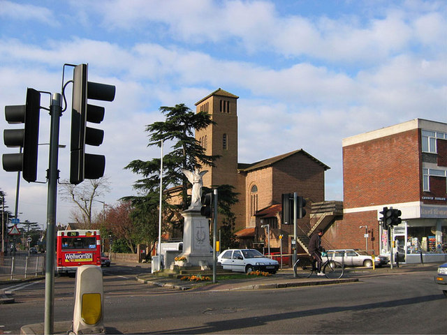
Description: The junction of Church Road (foreground) and Fordbridge Road (where the red bus is going), Ashford, Middlesex, seen from the northeast. In the centre of the junction is Ashford War Memorial. Beyond it is the Roman Catholic church of St Michael.
Title: The War Memorial, Ashford, Middlesex - geograph.org.uk - 1528402
Credit: From geograph.org.uk
Author: Rachel Keegan
Usage Terms: Creative Commons Attribution-Share Alike 2.0
License: CC BY-SA 2.0
License Link: https://creativecommons.org/licenses/by-sa/2.0
Attribution Required?: Yes
Image usage
The following page links to this image:

All content from Kiddle encyclopedia articles (including the article images and facts) can be freely used under Attribution-ShareAlike license, unless stated otherwise.