
Image: NZ-SI plain map
Size of this preview: 530 × 599 pixels. Other resolutions: 212 × 240 pixels | 1,234 × 1,395 pixels.
Original image (1,234 × 1,395 pixels, file size: 44 KB, MIME type: image/png)
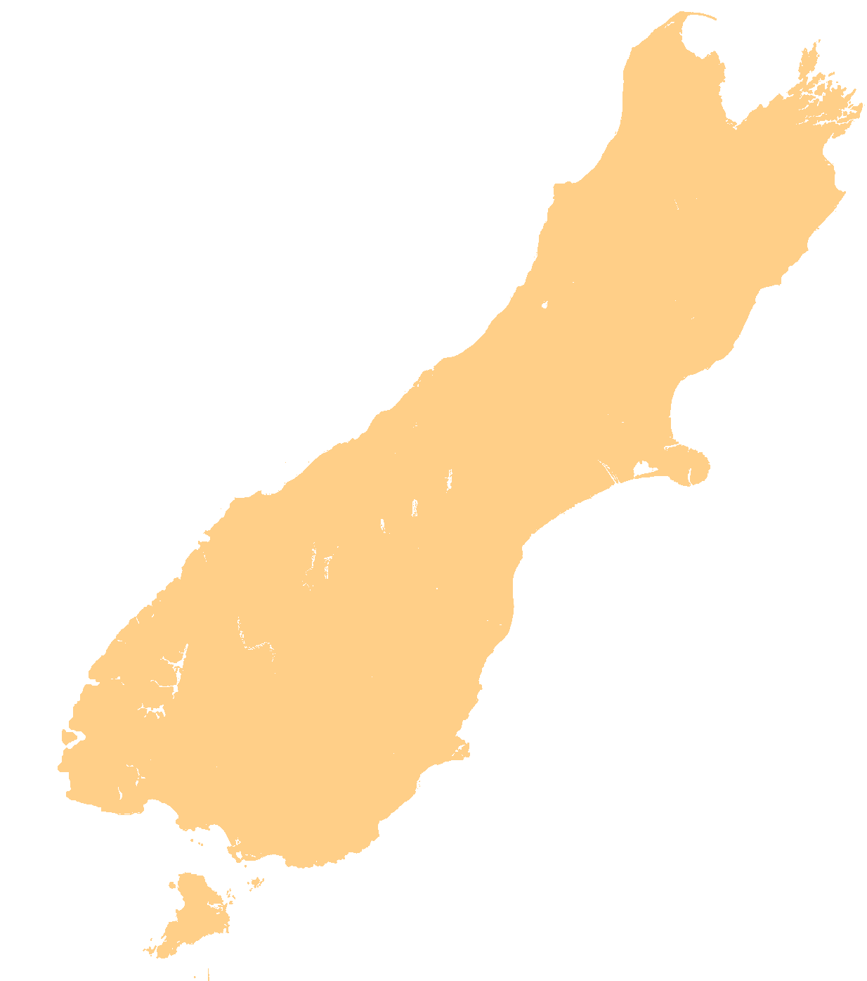
Description: template map of New Zealand's South Island
Title: NZ-SI plain map
Credit: Transferred from en.wikipedia to Commons.
Author: Original uploader was Grutness at en.wikipedia
Usage Terms: Public domain
License: Public domain
Attribution Required?: No
Image usage
The following 46 pages link to this image:
- Blue Lake (Tasman)
- Christchurch
- Cobb Reservoir
- Fisherman Island (New Zealand)
- Hooker Lake
- Kaikorai Stream
- Lake Benmore
- Lake Clearwater
- Lake Coleridge
- Lake Dunstan
- Lake Ellesmere / Te Waihora
- Lake Forsyth
- Lake George Scott
- Lake Gunn
- Lake Guyon
- Lake Harris (New Zealand)
- Lake Hauroko
- Lake Heron
- Lake Hood
- Lake Hāwea
- Lake Kaniere
- Lake Lyndon
- Lake Manapouri
- Lake Marian
- Lake Matiri
- Lake McKerrow / Whakatipu Waitai
- Lake Monowai
- Lake Poteriteri
- Lake Pukaki
- Lake Rotoiti (Tasman)
- Lake Rotoroa (Tasman)
- Lake Rotorua (Canterbury)
- Lake Ruataniwha
- Lake Sumner
- Lake Te Anau
- Lake Waitaki
- Lake Ōhau
- Malte Brun (mountain)
- Rangitata Island Aerodrome
- Richard Pearse Airport
- Secretary Island
- Tasman Lake
- Tata Islands
- Tonga Island
- Windsor, New Zealand
- Ōkārito Lagoon

All content from Kiddle encyclopedia articles (including the article images and facts) can be freely used under Attribution-ShareAlike license, unless stated otherwise.