
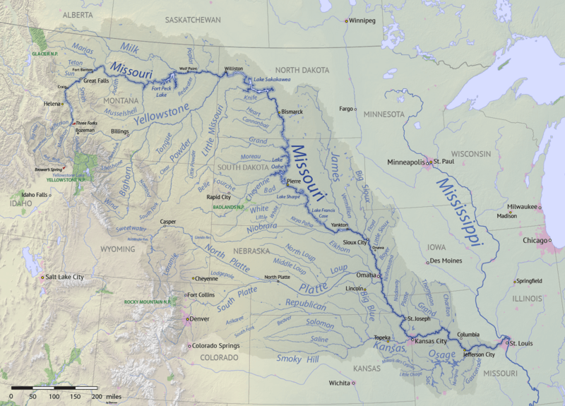
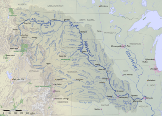
Image: Missouri River basin map
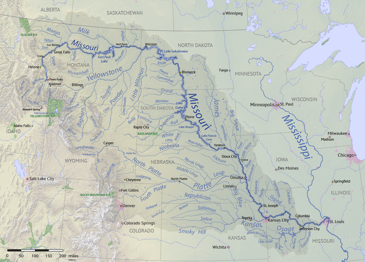
Size of this preview: 800 × 575 pixels. Other resolutions: 320 × 230 pixels | 1,496 × 1,075 pixels.
Original image (1,496 × 1,075 pixels, file size: 2.63 MB, MIME type: image/png)
Description: Map of the Missouri River drainage basin in the US and Canada. made using USGS and Natural Earth data. Replacement for File:Missouririvermap.jpg.
Title: Missouri River basin map
Credit: Own work
Author: Shannon1
Usage Terms: Creative Commons Attribution-Share Alike 4.0
License: CC BY-SA 4.0
License Link: https://creativecommons.org/licenses/by-sa/4.0
Attribution Required?: Yes
Image usage

All content from Kiddle encyclopedia articles (including the article images and facts) can be freely used under Attribution-ShareAlike license, unless stated otherwise.