
Image: Littlemissouririvermap
Size of this preview: 571 × 600 pixels. Other resolutions: 228 × 240 pixels | 836 × 878 pixels.
Original image (836 × 878 pixels, file size: 1,019 KB, MIME type: image/png)
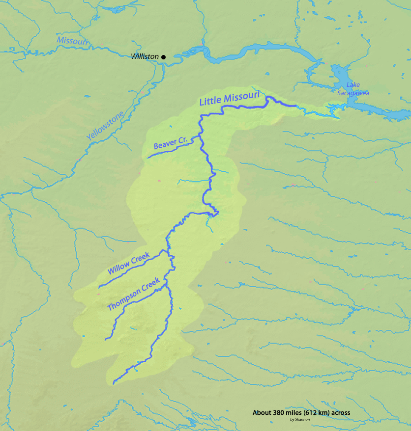
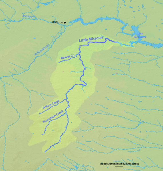
Description: Map of the Little Missouri River watershed in Wyoming, Montana and North Dakota in the north-central USA, that drains to the Missouri River
Title: Littlemissouririvermap
Credit: Background and river course data from http://www2.demis.nl/mapserver/mapper.asp
Author: Shannon
Permission: Map created from DEMIS Mapserver, which are public domain.
Usage Terms: Creative Commons Attribution-Share Alike 4.0
License: CC BY-SA 4.0
License Link: https://creativecommons.org/licenses/by-sa/4.0
Attribution Required?: Yes
Image usage
The following 2 pages link to this image:

All content from Kiddle encyclopedia articles (including the article images and facts) can be freely used under Attribution-ShareAlike license, unless stated otherwise.