
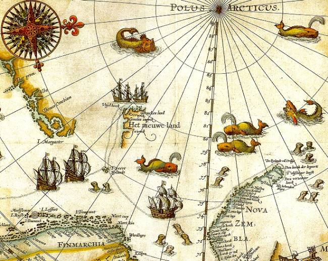
Image: Barentsz arctic map
No higher resolution available.
Barentsz_arctic_map.jpg (650 × 517 pixels, file size: 102 KB, MIME type: image/jpeg)
Description: Portion of 1599 map of Arctic exploration by Willem Barentsz. Spitsbergen, here mapped for the first time, is indicated as "Het Nieuwe Land" (Dutch for "the New Land"), center-left.
Title: Barentsz arctic map
Credit: University Library of Tromsø
Author: Willem Barentsz.
Permission: Public domain (over 70 years since creator's death)
Usage Terms: Public domain
License: Public domain
Attribution Required?: No
Image usage
The following 2 pages link to this image:

All content from Kiddle encyclopedia articles (including the article images and facts) can be freely used under Attribution-ShareAlike license, unless stated otherwise.