
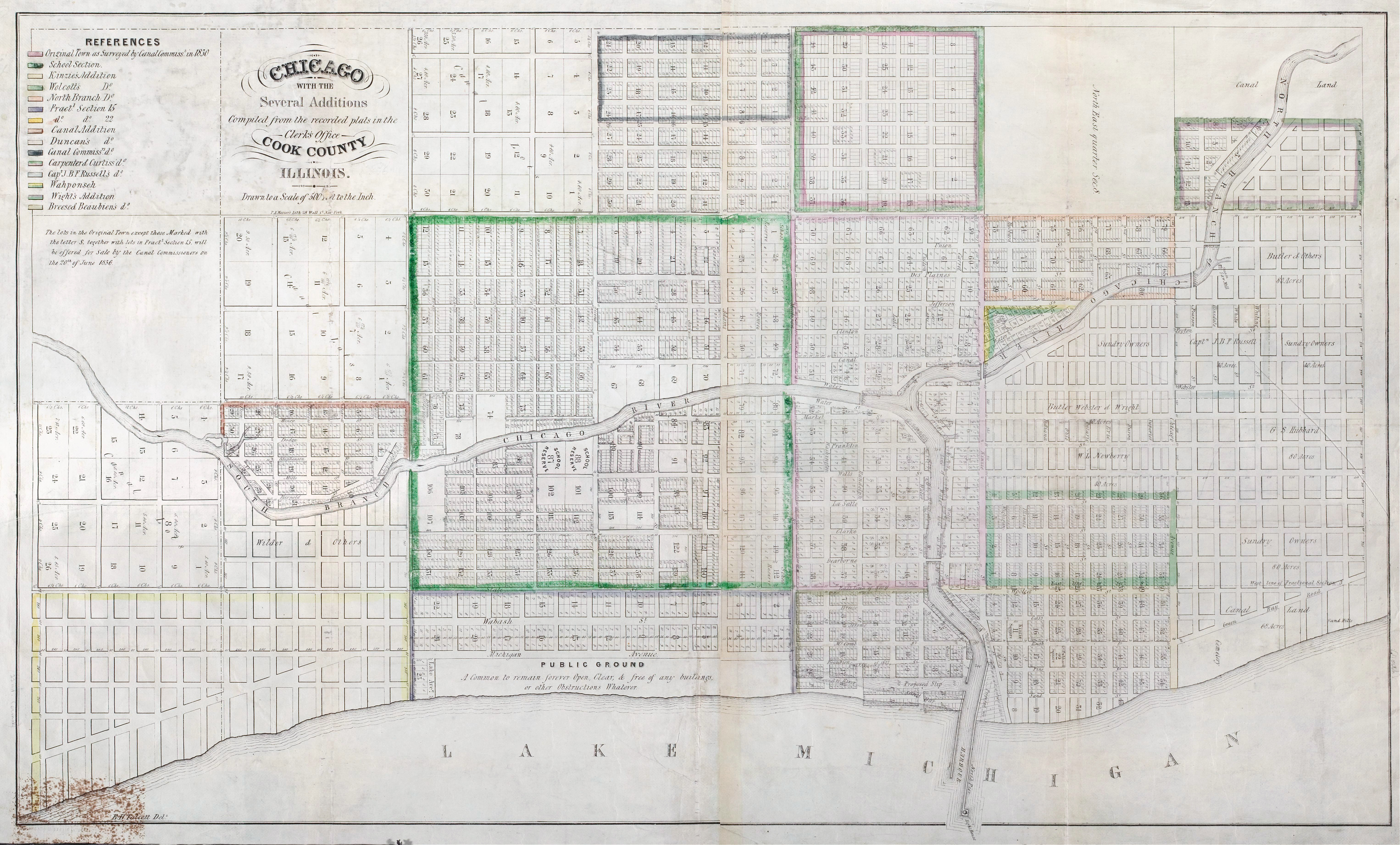
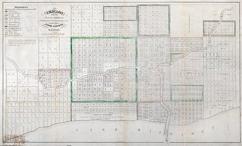
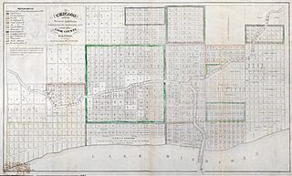
Image: 1836 Chicago Map by Mesier
Size of this preview: 800 × 483 pixels. Other resolutions: 320 × 193 pixels | 6,104 × 3,684 pixels.
Original image (6,104 × 3,684 pixels, file size: 4.27 MB, MIME type: image/jpeg)
Description: 1836 map of Chicago with Additions
Title: Map of Chicago Created by the Illinois and Michigan Canal commissioners and recorded on July 2, 1836
Credit: Chicago Historical Society
Author: E.B. Talcott, resident engineer, Illinois and Michigan Canal; T.A. Mesier's Lith, 28 Wall St, New York
Usage Terms: Public domain
License: Public domain
Attribution Required?: No
Image usage
The following page links to this image:

All content from Kiddle encyclopedia articles (including the article images and facts) can be freely used under Attribution-ShareAlike license, unless stated otherwise.