Grid plan facts for kids
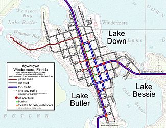
A grid plan is the first basic plan in urban planning. It was developed in ancient Greece.It is a type of city plan in which streets run at right angles to each other, forming a grid. In ancient Rome a grid plan method of land measurement was called a centuriation.
Related pages
Images for kids
-
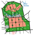
The city of Adelaide, South Australia was laid out in a grid, surrounded by gardens and parks.
-
The grid plan of Miletus in the Classical period
-
Bastide schema in Gascony
-
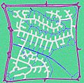
A one km2 sector in Milton Keynes framed by major roads in a grid configuration. The road network within the sector uses cul-de-sac streets complemented by bike and foot paths which connect the entire sector and beyond.
-
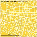
A 2×2 km square segment of the street network of Paris that often, and erroneously, is characterized as a grid. It shows the highly irregular city blocks and the range of street orientations, both common attributes of many historic cities
-
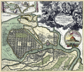
Schematic plan of Hoddle's allotments for the village of Melbourne, Victoria, Australia, March 1837
See also
 In Spanish: Plan hipodámico para niños


