Cumulus cloud facts for kids
Quick facts for kids Cumulus |
|
|---|---|

Small cumulus humilis clouds that can have noticeable vertical development and clearly defined edges.
|
|
| Abbreviation | Cu |
| Symbol | |
| Genus | Cumulus (heap) |
| Species |
|
| Variety |
|
| Altitude | 200–2,000 m (1,000–7,000 ft) |
| Classification | Family C (Low-level) |
| Appearance | Low-altitude, fluffy heaps of clouds with cotton-like appearance. |
| Precipitation | Uncommon Rain, Snow or Snow pellets |
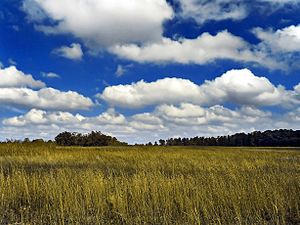
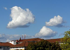
Cumulus clouds are clouds which have flat bases and are often described as "puffy", "cotton-like" or "fluffy" in appearance. They are dense and large. They are known to look like cauliflower. Mostly, you can see easily that cumulus clouds have flat bottoms but the tops are always changing shape.
Their name derives from the Latin cumulo-, meaning heap or pile. Cumulus clouds are low-level clouds, generally less than 2,000 m (6,600 ft) in altitude unless they are the more vertical cumulus congestus form. Cumulus clouds may appear by themselves, in lines, or in clusters.
Seeing a cumulus cloud means that the air is well mixed by up and down vertical drafts. When a cumulus cloud grows into a thunderstorm, the cloud is called a cumulonimbus cloud. This is a sign that the air is rising to the stratosphere.
Cumulus clouds can be formed from water vapour, supercooled water droplets, or ice crystals, depending upon the ambient temperature.
Contents
Formation
Cumulus clouds form as air warmed by the surface begins to rise. As the air rises, the temperature drops (following the lapse rate) and the relative humidity (RH) rises. Water vapor condenses on various nuclei present in the air, forming the cumulus cloud.
Cumulus clouds can be composed of ice crystals, water droplets, supercooled water droplets, or a mixture of them. The water droplets form when water vapor condenses on the nuclei, and they may then merge into larger and larger droplets.
The height of the cloud (from its bottom to its top) depends on the temperature profile of the atmosphere and of the presence of any inversions.
In places, cumulus clouds can have "holes" where there are no water droplets. These can occur when winds tear the cloud or when strong downdrafts evaporate the water.
Forecast
Cumulus humilis clouds usually indicate fair weather.
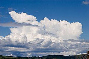
Cumulus mediocris clouds are similar, except that they have some vertical development, which implies that they can grow into cumulus congestus or even cumulonimbus clouds, which can produce heavy rain, lightning, severe winds, hail, and even tornadoes.
Cumulus congestus clouds, which appear as towers, will often grow into cumulonimbus storm clouds. They can produce precipitation. Glider pilots often pay close attention to cumulus clouds, as they can be indicators of rising air drafts or thermals underneath that can suck the plane high into the sky—a phenomenon known as cloud suck.
Extraterrestrial
Some cumuliform and stratocumuliform clouds have been discovered on most other planets in the solar system. On Mars, the Viking Orbiter detected cirrocumulus and stratocumulus clouds forming via convection primarily near the polar icecaps. The Galileo space probe detected massive cumulonimbus clouds near the Great Red Spot on Jupiter. Cumuliform clouds have also been detected on Saturn. In 2008, the Cassini spacecraft determined that cumulus clouds near Saturn's south pole were part of a cyclone over 4,000 kilometres (2,500 mi) in diameter. The Keck Observatory detected whitish cumulus clouds on Uranus. Like Uranus, Neptune has methane cumulus clouds. Venus, however, does not appear to have cumulus clouds.
See also
 In Spanish: Cúmulus para niños


