China Hat (Oregon) facts for kids
Quick facts for kids China Hat |
|
|---|---|
| Highest point | |
| Elevation | 6,573 |
| Geography | |
| Location | Deschutes, Oregon, U.S. |
| Parent range | Cascade Range |
| Topo map | USGS China Hat |
| Geology | |
| Age of rock | 6.3 - 7.4 Ma |
| Mountain type | Pyroclastic cone |
| Volcanic arc | Cascade Volcanic Arc |
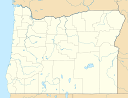
China Hat is a volcanic butte on the southeastern flank of Newberry Volcano in Deschutes County, Oregon, United States. It is a rhyolitic dome dating from the age of the Middle Pleistocene. Both China Hat and nearby East Butte are covered by Mazama Ash and Newberry Ash.
China Hat Road, named after the butte, starts in Bend and heads to Fort Rock. The road is a hotspot for law enforcement. China Hat Campground is a campground located near China Hat butte along this road.
The butte was named for its similarity in appearance, when viewed from Fort Rock, to the Asian conical hat worn by Chinese immigrant laborers.

All content from Kiddle encyclopedia articles (including the article images and facts) can be freely used under Attribution-ShareAlike license, unless stated otherwise. Cite this article:
China Hat (Oregon) Facts for Kids. Kiddle Encyclopedia.

