Bringhurst, Indiana facts for kids
Quick facts for kids
Bringhurst
|
|
|---|---|

The corner of Main Street (left) and Walnut Street (right)
|
|

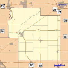
Carroll County's location in Indiana
|
|
| Country | United States |
| State | Indiana |
| County | Carroll |
| Township | Monroe |
| Area | |
| • Total | 0.14 sq mi (0.37 km2) |
| • Land | 0.14 sq mi (0.37 km2) |
| • Water | 0.00 sq mi (0.00 km2) |
| Elevation | 722 ft (220 m) |
| Population
(2020)
|
|
| • Total | 215 |
| • Density | 1,524.82/sq mi (588.36/km2) |
| ZIP code |
46913
|
| FIPS code | 18-07714 |
| GNIS feature ID | 2806460 |
Bringhurst is an unincorporated community in Monroe Township, Carroll County, Indiana, United States. It is part of the Lafayette, Indiana Metropolitan Statistical Area.
History
The Bringhurst post office was established in 1872. Bringhurst was named for Colonel Bringhurst.
Geography
Bringhurst is located less than a mile south of the larger community of Flora along the Winamac Southern Railway. Indiana State Road 75 runs north and south along the town's west side.
Demographics
| Historical population | |||
|---|---|---|---|
| Census | Pop. | %± | |
| 2020 | 215 | — | |
| U.S. Decennial Census | |||

All content from Kiddle encyclopedia articles (including the article images and facts) can be freely used under Attribution-ShareAlike license, unless stated otherwise. Cite this article:
Bringhurst, Indiana Facts for Kids. Kiddle Encyclopedia.

