Benndale, Mississippi facts for kids
Quick facts for kids
Benndale, Mississippi
|
|
|---|---|
| Country | United States |
| State | Mississippi |
| County | George |
| Area | |
| • Total | 1.51 sq mi (3.91 km2) |
| • Land | 1.51 sq mi (3.91 km2) |
| • Water | 0.00 sq mi (0.00 km2) |
| Population
(2020)
|
|
| • Total | 65 |
| • Density | 43.07/sq mi (16.63/km2) |
| Time zone | UTC-6 (Central (CST)) |
| • Summer (DST) | UTC-5 (CDT) |
| FIPS code | 28-05180 |
| GNIS feature ID | 691696 |
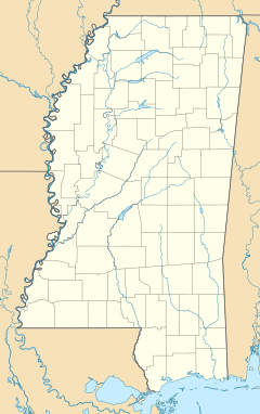
Benndale is a census-designated place (CDP) and unincorporated community in George County, Mississippi, near the intersection of State Highways 26 (MS 26) and 57 (MS 57). It is part of the Pascagoula Metropolitan Statistical Area. Prior to the creation of George County, Benndale was located in Jackson County. It became a CDP in the 2020 United States census, with a population of 65.
Background
Benndale Elementary School, a K-6 campus that is part of the George County School District, serves Benndale and surrounding areas.
A post office operated under the name Benndale from 1900 to 1967.
The Farnworth Lumber Company once operated a lumber camp in Benndale.
The Benndale soil series is named for the community.
2020 demographics
| Historical population | |||
|---|---|---|---|
| Census | Pop. | %± | |
| 2020 | 65 | — | |
| U.S. Decennial Census 2020 |
|||
| Ethnicity | Pop 2020 | % 2020 |
|---|---|---|
| White (NH) | 58 | 89.23% |
| Black (NH) | 3 | 4.62% |
| Multiracial (NH) | 1 | 1.54% |
| Hispanic or Latino | 3 | 4.62% |
| Total | 65 | 100.00% |

All content from Kiddle encyclopedia articles (including the article images and facts) can be freely used under Attribution-ShareAlike license, unless stated otherwise. Cite this article:
Benndale, Mississippi Facts for Kids. Kiddle Encyclopedia.


