West Mountains facts for kids
Quick facts for kids West Mountains |
|
|---|---|
| Highest point | |
| Peak | Snowbank Mountain |
| Elevation | 8,320 ft (2,540 m) |
| Dimensions | |
| Length | 76 mi (122 km) N/S |
| Width | 46 mi (74 km) E/W |
| Area | 2,028 sq mi (5,250 km2) |
| Geography | |
| Country | United States |
| State | Idaho |
| Range coordinates | 44°28′00″N 116°14′04″W / 44.46667°N 116.23444°W |
| Borders on | Boise Mountains |
| Topo map | USGS Tripod Peak |
Not to be confused with the Western Hills near Beijing, China, or various Western Ranges of mountains.
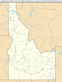
The West Mountains are a mountain range in the U.S. state of Idaho, spanning part of Boise and Payette national forests. The highest point in the range is Snowbank Mountain at an elevation of 8,320 feet (2,540 m) above sea level. The range is bordered to the east by the Payette River and the North Fork Payette River, which separate the range from the Boise Mountains.

All content from Kiddle encyclopedia articles (including the article images and facts) can be freely used under Attribution-ShareAlike license, unless stated otherwise. Cite this article:
West Mountains Facts for Kids. Kiddle Encyclopedia.

