Weather radar facts for kids
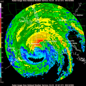
A weather radar is a type of radar used to show where precipitation is. Weather radar can tell the movement of precipitation, what type it is (rain, snow, hail, etc.), and forecast its future.
Modern weather radars are mostly Doppler radars, which can find the movement of rain drops and the intensity of the precipitation. Both types of information can be used to find the structure of storms and tell if they will cause any severe weather.
Images for kids
-
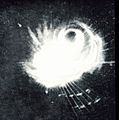
1960s radar technology detected tornado producing supercells over the Minneapolis-Saint Paul metropolitan area.
-
NEXRAD in South Dakota with a supercell in the background.
-
Map of the RIDGE presentation of 2011 Joplin tornado.
-
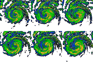
Example of strong attenuation when a line of thunderstorms moves over (from left to right images) a 5 cm wavelength weather radar (red arrow). Source: Environment Canada
-
Phased Array Weather Radar in Norman, Oklahoma
-
Nowcasting a line of thunderstorms from AutoNowcaster system
-
Weather radar in Norman, Oklahoma with rainshaft
-
University of Oklahoma OU-PRIME C-band, polarimetric, weather radar during construction
-
Berrimah Radar in Darwin, Northern Territory Australia
-
The square in this Doppler image has been automatically placed by the radar program to spot the position of a mesocyclone. Notice the inbound/outbound doublet (blue/yellow) with the zero velocity line (gray) parallel to the radial to the radar (up right). It is noteworthy to mention that the change in wind direction here occurs over less than 10 km.
See also
 In Spanish: Radar meteorológico para niños


