Waitākere Reservoir facts for kids
Quick facts for kids Waitākere Reservoir |
|
|---|---|

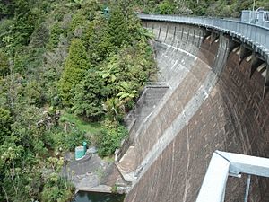
Waitākere Dam from above
|
|
| Location | Waitakere, North Island |
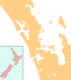
| Coordinates | 36°54′08″S 174°31′31″E / 36.9023°S 174.5254°E |
| Type | Reservoir |
| Basin countries | New Zealand |
| Surface area | 25.1 ha (0.097 sq mi) |
| Water volume | 1,760,000 m3 (0.00042 cu mi) |
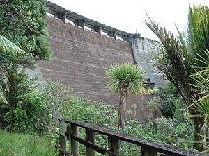
Waitākere Reservoir is a reservoir on the Waitakere River in the Waitākere Ranges, west of Auckland in New Zealand. Waitākere Dam was completed in 1910 and is a concrete gravity dam with a slight curvature.. It has a lake area of 25.1 hectares and a capacity of 1.76 million cubic metres.
The dam is accessible from the Montana Heritage Trail, a bush hike in the region.

All content from Kiddle encyclopedia articles (including the article images and facts) can be freely used under Attribution-ShareAlike license, unless stated otherwise. Cite this article:
Waitākere Reservoir Facts for Kids. Kiddle Encyclopedia.

