USGS Peak facts for kids
Quick facts for kids USGS Peak |
|
|---|---|
| Highest point | |
| Elevation | 11,982 ft (3,652 m) |
| Prominence | 1,782 ft (543 m) |
| Parent peak | Mount Church |
| Geography | |
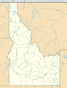
| Location | Custer County, Idaho, U.S. |
| Parent range | Lost River Range |
| Topo map | USGS Massacre Mountain |
| Climbing | |
| Easiest route | Scrambling, class 3 |
USGS Peak, at 11,982 feet (3,652 m) above sea level, is the tenth-highest peak in the U.S. state of Idaho and the eighth-highest in the Lost River Range. The peak is located in Salmon-Challis National Forest in Custer County. It is 4.15 miles (6.68 km) southeast of Lost River Peak, its line parent.

All content from Kiddle encyclopedia articles (including the article images and facts) can be freely used under Attribution-ShareAlike license, unless stated otherwise. Cite this article:
USGS Peak Facts for Kids. Kiddle Encyclopedia.
