Totonicapán facts for kids
Quick facts for kids
Totonicapán
|
|
|---|---|
|
Municipality
|
|
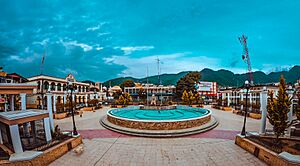
Central park of Totonicapán
|
|
| Nickname(s):
Toto
|
|
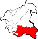
Municipality of Totonicapán within the Department of Totonicapán
|
|
| Country | |
| Department | |
| Government | |
| • Type | Municipal |
| Area | |
| • Municipality | 274 km2 (106 sq mi) |
| Elevation | 2,495 m (8,186 ft) |
| Population
(2018 census)
|
|
| • Municipality | 103,952 |
| • Density | 379.4/km2 (982.6/sq mi) |
| • Urban | 103,952 |
| • Ethnicities | K'iche' people Ladino |
| • Religions | Roman Catholicism Evangelicalism Maya |
| Climate | Cwb |
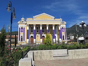
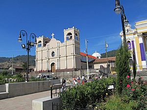
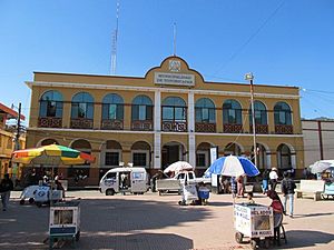
Totonicapán is a city in Guatemala. It serves as the capital of the department of Totonicapán and as the administrative seat for the surrounding municipality of Totonicapán.
History
In 1838 Totonicapán was declared an independent republic, in which the adjoining departments of Sololá and Quezaltenango were included. This state existed for two years, and was then again merged in the republic of Guatemala.
Totonicapán suffered greatly in the earthquake of April 18, 1902.
Historically, Totonicapán was known for its hot springs.
See also
 In Spanish: Totonicapán (municipio) para niños

All content from Kiddle encyclopedia articles (including the article images and facts) can be freely used under Attribution-ShareAlike license, unless stated otherwise. Cite this article:
Totonicapán Facts for Kids. Kiddle Encyclopedia.


