Torr a'Chaisteal facts for kids

Torr a'Chaisteal
|
|
| Location | Isle of Arran |
|---|---|
| Coordinates | 55°27′32″N 5°17′19″W / 55.45897°N 5.288585°W |
| Type | Dun |
| History | |
| Periods | Iron Age |
| Site notes | |
| Ownership | Historic Scotland |
| Public access | Yes |
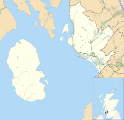
Torr a'Chaisteal (or Torr a'Chaisteil) is an Iron Age fort (dun), located about 1 mile (2 kilometres) northeast of the village of Sliddery, on the Isle of Arran in Scotland .
Description
Torr a'Chaisteal is situated on an isolated grassy knoll on the west coast of Arran.
It was a fortified residence, or dun, of a type common across western Scotland in the later Iron Age. A similar structure can be seen at Kilpatrick Dun 2+1⁄2 mi (4 km) to the north. The turf-covered walls are 0.5 metres high and have an average width of 4 metres. The walls are formed of large sandstone boulders, enclosing an area with a diameter of around 7 metres. A short stretch of wall lies beside the dun to the east, while on the landward approach is a substantial earthwork that may have formed an outer defence.
Antiquarian excavations in the 19th century uncovered human and animal bones, shells, the top stone of a quern, and pieces of haematite iron.
 | Kyle Baker |
 | Joseph Yoakum |
 | Laura Wheeler Waring |
 | Henry Ossawa Tanner |


