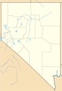
Topaz Ranch Estates, Nevada facts for kids
Quick facts for kids
Topaz Ranch Estates, Nevada
|
|
|---|---|
| Nickname(s):
(TRE)
|
|
| Country | United States |
| State | Nevada |
| Area | |
| • Total | 14.39 sq mi (37.27 km2) |
| • Land | 14.39 sq mi (37.27 km2) |
| • Water | 0.00 sq mi (0.00 km2) |
| Elevation | 5,140 ft (1,570 m) |
| Population
(2020)
|
|
| • Total | 1,630 |
| • Density | 113.27/sq mi (43.73/km2) |
| Time zone | UTC-8 (Pacific (PST)) |
| • Summer (DST) | UTC-7 (PDT) |
| Area code(s) | 775 |
| FIPS code | 32-74400 |
| GNIS feature ID | 2583959 |
Topaz Ranch Estates is a census-designated place (CDP) in Douglas County, Nevada, United States. The population was 1,501 at the 2010 census.
Geography
Topaz Ranch Estates is located in southern Douglas County, along Nevada State Route 208. It is 8 miles (13 km) east to Wellington and 3 miles (5 km) west to U.S. Route 395 at Holbrook Junction.
According to the United States Census Bureau, the Topaz Ranch Estates CDP has an area of 14.4 square miles (37.3 km2), all land.
Demographics
| Historical population | |||
|---|---|---|---|
| Census | Pop. | %± | |
| 2010 | 1,501 | — | |
| 2020 | 1,630 | 8.6% | |
| U.S. Decennial Census | |||
See also
 In Spanish: Topaz Ranch Estates para niños

All content from Kiddle encyclopedia articles (including the article images and facts) can be freely used under Attribution-ShareAlike license, unless stated otherwise. Cite this article:
Topaz Ranch Estates, Nevada Facts for Kids. Kiddle Encyclopedia.

