Tonduff facts for kids
Quick facts for kids Tonduff |
|
|---|---|
| Tóin Dubh | |

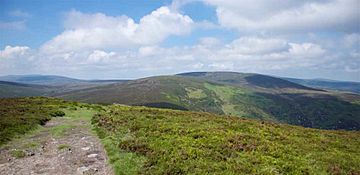
Tonduff East Top (near) and Tonduff (far) as seen from the summit of Maulin
|
|
| Highest point | |
| Elevation | 642 m (2,106 ft) |
| Prominence | 117 m (384 ft) |
| Listing | Hewitt, Arderin, Simm, Vandeleur-Lynam |
| Naming | |
| English translation | Black bottom |
| Language of name | Irish |
| Geography | |
| Location | Wicklow, Republic of Ireland |
| Parent range | Wicklow Mountains |
| OSI/OSNI grid | O159136 |
| Topo map | OSi Discovery 56 |
| Geology | |
| Mountain type | Granite with microcline phenocrysts Bedrock |

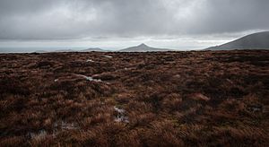
Flat summmit of Tonduff looking eastwards to the Great Sugar Loaf
Tonduff (Irish: Tóin Dubh, meaning black bottom) at 642 metres (2,106 ft), is the 169th–highest peak in Ireland on the Arderin scale, and the 202nd–highest peak on the Vandeleur-Lynam scale. Tonduff is in the far northeastern section of the Wicklow Mountains, in Wicklow, Ireland. The main flat summit is sometimes listed as Tonduff North, while the subsidiary summit, Tonduff East Top 593 metres (1,946 ft), is sometimes listed as Tonduff South. Tonduff East Top has a prominence of only 15 metres (49 ft), which just qualifies it as an Arderin Beg. A bog on the western slopes of Tonduff, the Liffey Head Bog, forms the source of the River Liffey; bogs on the southern slopes of Tonduff, forms the source of the River Dargle.

All content from Kiddle encyclopedia articles (including the article images and facts) can be freely used under Attribution-ShareAlike license, unless stated otherwise. Cite this article:
Tonduff Facts for Kids. Kiddle Encyclopedia.

