Targhee Pass facts for kids
Quick facts for kids Targhee Pass |
|
|---|---|
| Elevation | 7,072 ft (2,156 m) |
| Traversed by | |
| Location | Fremont County, Idaho / Gallatin County, Montana, United States |
| Range | Rocky Mountains |
| Coordinates | 44°40′29″N 111°16′33″W / 44.67472°N 111.27583°W |
| Topo map | USGS Targhee Pass |
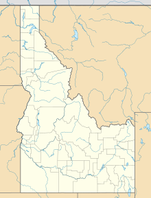
Targhee Pass is a mountain pass located on the Continental Divide in the Henrys Lake Mountains, along the border between southeastern Idaho and southwestern Montana, at an elevation of 7,072 feet (2,156 m) above sea level. The pass is named for a Bannack Indian chief.
U.S. Highway 20 (US 20) crosses the pass, approximately 15 miles (24 km) west of West Yellowstone, Montana, on the western boundary of Yellowstone National Park. The pass provides the most direct access to Yellowstone Park from southern Idaho.
The pass is located in the Caribou–Targhee National Forest. Henrys Lake, the headwaters of the Henrys Fork, a tributary of the Snake River is located just west of the pass. Hebgen Lake, a reservoir on the Madison River, a tributary of the Missouri River, is located just north of the pass.
Nez Perce War
During the 1877 Nez Perce War, Chief Joseph's band of Nez Perce traversed the pass on August 22 while evading U.S. Cavalry forces under the command of General Oliver O. Howard. The Nez Perce had just engaged the army at the Battle of Camas Creek in Idaho. After entering Montana Territory the Indians moved east up the Madison River into Yellowstone National Park.


