Tana Glacier facts for kids
Quick facts for kids Tana Glacier |
|
|---|---|

Western Tributary of Tana Glacier
|
|
| Type | Valley glacier |
| Coordinates | 60°43′53″N 142°43′51″W / 60.73139°N 142.73083°W |
| Length | 17 miles (27 km) |
| Terminus | outwash plains |
| Status | retreating |
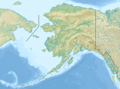
Tana Glacier is a 17-mile-long (27 km) glacier in the U.S. state of Alaska. It begins at Bagley Icefield and flows northwest to its 1950 terminus near the head of the Tana River. Its name, of Alaska Native origin, was first recorded by prospectors in 1900. The warmest month is August, at -2 ° C, and the coldest month is January, at -20 ° C.

All content from Kiddle encyclopedia articles (including the article images and facts) can be freely used under Attribution-ShareAlike license, unless stated otherwise. Cite this article:
Tana Glacier Facts for Kids. Kiddle Encyclopedia.
