Stoutsburg, New Jersey facts for kids
Quick facts for kids
Stoutsburg, New Jersey
|
|
|---|---|
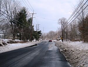
Center of Stoutsburg along CR 518
|
|
| Country | |
| State | |
| County | Mercer and Somerset |
| Township | Hopewell and Montgomery |
| Elevation | 157 ft (48 m) |
| GNIS feature ID | 880956 |
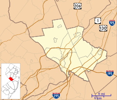
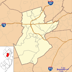
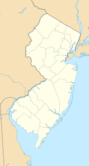
Stoutsburg is an unincorporated community located along the border of Hopewell Township in Mercer County and Montgomery Township in Somerset County, in the U.S. state of New Jersey. County Route 518 passes through the community from the east and west, while Province Line Road passes through north and south. Province Line Road follows the Keith line which formerly separated the provinces of West Jersey and East Jersey, now parts of Hopewell and Montgomery townships respectively.
History
On June 24, 1778, during the American Revolutionary War, General George Washington held a council of war at the Joseph Stout House (Hunt House) located here in preparation for the Battle of Monmouth.
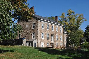
The Joseph Stout House, listed on the NRHP

All content from Kiddle encyclopedia articles (including the article images and facts) can be freely used under Attribution-ShareAlike license, unless stated otherwise. Cite this article:
Stoutsburg, New Jersey Facts for Kids. Kiddle Encyclopedia.

