Steinschartenkopf facts for kids
Quick facts for kids Steinschartenkopf |
|
|---|---|

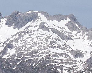
The Steinschartenkopf from the south between the Kleiner Steinscharte and Socktalscharte notches
|
|
| Highest point | |
| Elevation | 2615 |
| Prominence | 74 m ↓ Kleine Steinscharte |
| Isolation | 0.4 km → Hohes Licht |
| Geography | |
|
Lua error in Module:Location_map at line 420: attempt to index field 'wikibase' (a nil value).
|
|
| Parent range | Central Ridge, Allgäu Alps |
| Climbing | |
| Normal route | along the Heilbronn Way |
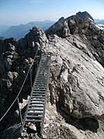
The Steinschartenkopf is a 2,615 metres (8,579 ft) high mountain in the Allgäu Alps. It is north of the Hohes Licht, in Tyrol, Austria. It is the sixth tallest mountain in the Allgäu Alps. The popular Heilbronn Way (Heilbronner Weg) runs over the summit. It is the highest point on the Heilbronn Way.
Gallery
-
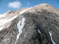
Steinschartenkopf from the Bockkarkopf
- Dieter Seibert: Allgäuer Alpen Alpin, Alpine Club Guide. Munich, Bergverlag Rudolf Rother, 2004. ISBN: 3-7633-1126-2
- Alpine Club map 1:25,000 series, Sheet 2/1, Allgäuer- Lechtaler Alpen, West

All content from Kiddle encyclopedia articles (including the article images and facts) can be freely used under Attribution-ShareAlike license, unless stated otherwise. Cite this article:
Steinschartenkopf Facts for Kids. Kiddle Encyclopedia.


