St. Marys River (Florida–Georgia) facts for kids

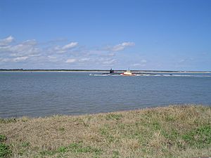
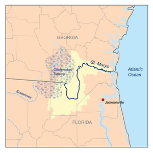
The St. Marys River (named Saint Marys River by the United States Geological Survey,) is a 126-mile-long (203 km) river in the southeastern United States. From near its source in the Okefenokee Swamp, to its mouth at the Atlantic Ocean, it forms a portion of the border between the U.S. states of Georgia and Florida. The river also serves as the southernmost point in the state of Georgia.
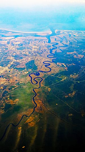
The St. Marys River rises as a tiny stream, River Styx, flowing from the western edge of Trail Ridge, the geological relic of a barrier island/dune system, and into the southeastern Okefenokee Swamp. Arching to the northwest, it loses its channel within the swamp, then turns back to the southwest and reforms a stream, at which point it becomes the St. Marys River. Joined by another stream, Moccasin Creek, the river emerges from the Okefenokee Swamp at Baxter, Florida/Moniac, Georgia. It then flows south, then east, then north, then east-southeast, finally emptying its waters into the Atlantic, near St. Marys, Georgia and Fernandina Beach, Florida.
Name
The U.S. Board on Geographic Names discourages the use of apostrophes in place names, including St. Marys River.
War of 1812
See also
 In Spanish: Río Santa María (Florida) para niños


