Socastee Historic District facts for kids
Quick facts for kids |
|
|
Socastee Historic District
|
|
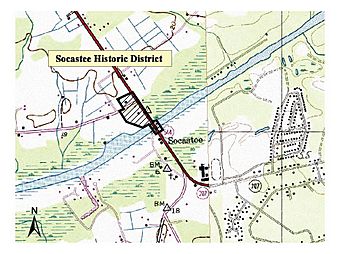
Map: Courtesy of South Carolina Department of Archives and History
|
|
| Location | SC 544, 0.5 mi. N of Indtracoastal Waterway, Socastee, South Carolina |
|---|---|
| Area | 4 acres (1.6 ha) |
| Built | 1881 |
| Architect | Prince, Robert M., Sr.; Tidewater Construction Corporation |
| Architectural style | Massed-plan side gabled |
| NRHP reference No. | 02000558 |
| Added to NRHP | May 22, 2002 |
The Socastee Historic District, located on the Intracoastal Waterway in Socastee, South Carolina, was added to the National Register of Historic Places in 2002.
It includes three contributing buildings, one contributing site, and one contributing structure. They are a metal swing bridge, two houses, one store and a pecan grove. It is one of the few remaining intact local examples of post-Civil War development.
Contents
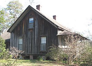
Samuel S. Sarvis House
Samuel Sarvis built his house in 1881, shortly before he was to be married.
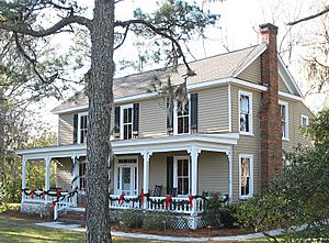
Thomas B. Cooper House
The Thomas B. Cooper house was built for Mr. Cooper by Robert M. Prince, Jr. in 1908. The exterior has recently been renovated.
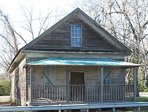
Thomas B. Cooper Store
The store was built in 1905 and closed in 1932.
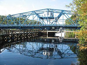
Swing Bridge
The Socastee swing bridge was designed by the U.S. Corps of engineers, it is a swing-span, Warren through-truss type bridge with rigid joints and was opened in 1936. It is 217 feet (66 m) long and 24 feet (7.3 m) feet wide. A pamphlet printed for the opening of the Waterway in Socastee in 1936, discloses the Socastee Bridge was built by the Tidewater Construction Corporation. According to a 1981 South Carolina Highway Department Survey, however, the bridge contains a plate bearing the name of Virginia Bridge & Iron Company. It is most likely the pieces for the bridge itself was fabricated by the Virginia Bridge & Iron Company, and was assembled by Tidewater Construction Corporation. Originally, the bridge had to be turned by hand. The gatekeeper worked from the house at the top of the bridge. The first operator of the bridge boarded at the Thomas B. Cooper house.
From the time of its construction, the Socastee turn bridge was the only means other than ferry to cross the Intra Coastal waterway. Located on Hwy 544, it was to be closed after approval of a new bridge to be built on south of the Socastee bridge. Though the new bridge solved many traffic problems during the tourist season, it did not help the locals and it would have created many problems for Socastee residents that need to access Forestbrook Rd., which is located approximately 0.2 miles on the right off Hwy 544 west of the Socastee turn bridge. Additionally Peach Tree Rd. was located just 0.1 miles to the left. Thus the Socastee turn bridge not only has historic value, but it is still used in daily commuting.
Pecan Grove
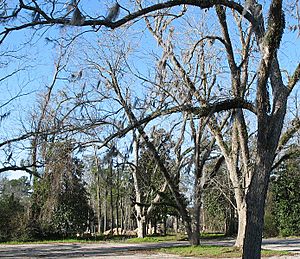
Old pecan grove near the Thomas B. Cooper store.
Early Residents
Samuel S. Sarvis (1843 - 1931)
Samuel S. Sarvis was a confederate veteran and served with the SC 26th Infantry. He was a merchant, store owner and a business partner with Dusenbury & Sarvis. Mr. Sarvis was appointed the postmaster of Socastee in 1896. The post office was in his store which was the norm for small towns in that era.
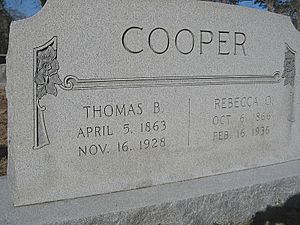
Thomas B. Cooper (1863 - 1928)
Thomas B. Cooper was the Socastee postmaster in 1908.


