Sexton Glacier facts for kids
Quick facts for kids Sexton Glacier |
|
|---|---|
| Type | Mountain glacier |
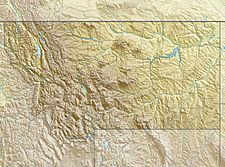
| Location | Glacier National Park, Glacier County, Montana, U.S. |
| Coordinates | 48°42′06″N 113°38′06″W / 48.70167°N 113.63500°W |
| Area | Approximately 68 acres (0.28 km2) in 2005 |
| Terminus | Barren rock |
| Status | Retreating |
Sexton Glacier is located in the U.S. state of Montana in Glacier National Park. The glacier is situated in a cirque north of Going-to-the-Sun Mountain and on the southeast slope of Matahpi Peak at an elevation between 8,000 feet (2,400 m) and 7,000 feet (2,100 m) above sea level. The glacier covers an area of approximately 68 acres (0.28 km2) and lost over 30 percent of its surface area between 1966 and 2005.

All content from Kiddle encyclopedia articles (including the article images and facts) can be freely used under Attribution-ShareAlike license, unless stated otherwise. Cite this article:
Sexton Glacier Facts for Kids. Kiddle Encyclopedia.
