Secesh River facts for kids
Quick facts for kids Secesh River |
|
|---|---|

Secesh River
|
|
|
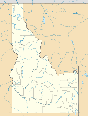
Location of the mouth of the Secesh River in Idaho
|
|
| Country | United States |
| State | Idaho |
| Physical characteristics | |
| Main source | Confluence of Lake Creek and Summit Creek Burgdorf, Idaho County 6,099 ft (1,859 m) 45°16′33″N 115°55′07″W / 45.27583°N 115.91861°W |
| River mouth | South Fork Salmon River Browns Camp, Valley County 3,629 ft (1,106 m) 45°01′30″N 115°42′27″W / 45.02500°N 115.70750°W |
| Length | 27 mi (43 km) |
| Basin features | |
| Tributaries |
|
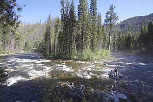
The Secesh River is a 27-mile (43 km) tributary of the South Fork Salmon River in Idaho and Valley Counties, Idaho in the United States. The river begins at the confluence of Lake Creek and Summit Creek near the unincorporated community of Burgdorf and flows generally southeast, through Secesh Meadows and a series of canyons, emptying into the South Fork near Browns Camp.
The river drains a remote wilderness watershed in the Salmon River Mountains. Situated in the Payette National Forest, it is a popular destination for whitewater boating, and its confluence with the South Fork also marks the beginning of the South Fork's main whitewater run.

All content from Kiddle encyclopedia articles (including the article images and facts) can be freely used under Attribution-ShareAlike license, unless stated otherwise. Cite this article:
Secesh River Facts for Kids. Kiddle Encyclopedia.


