Saulcy facts for kids
Quick facts for kids
Saulcy
|
||
|---|---|---|

Saulcy village
|
||
|
||
| Country | Switzerland | |
| Canton | Jura | |
| District | Delémont | |
| Area | ||
| • Total | 7.86 km2 (3.03 sq mi) | |
| Elevation | 910 m (2,990 ft) | |
| Population
(Dec 2020 )
|
||
| • Total | 255 | |
| • Density | 32.44/km2 (84.03/sq mi) | |
| Postal code |
2873
|
|
| Surrounded by | Lajoux, Saint-Brais, Haute-Sorne, Rebévelier(BE) | |
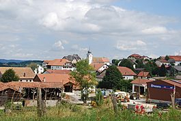
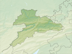
Saulcy is a municipality in the district of Delémont in the canton of Jura in Switzerland.
Contents
History
Saulcy is first mentioned in 1327 as Sacis.
Geography
Saulcy has an area of 7.86 km2 (3.03 sq mi). Of this area, 3.67 km2 (1.42 sq mi) or 46.7% is used for agricultural purposes, while 3.98 km2 (1.54 sq mi) or 50.6% is forested. Of the rest of the land, 0.26 km2 (0.10 sq mi) or 3.3% is settled (buildings or roads).
Of the built up area, housing and buildings made up 1.7% and transportation infrastructure made up 1.7%. Out of the forested land, 46.8% of the total land area is heavily forested and 3.8% is covered with orchards or small clusters of trees. Of the agricultural land, 6.9% is used for growing crops and 22.8% is pastures and 16.8% is used for alpine pastures.
The municipality is located in the Delemont district. It consists of the village of Saulcy and the hamlet of La Racine.
The municipalities of Bassecourt, Boécourt, Courfaivre, Glovelier, Saulcy, Soulce and Undervelier are considering a merger on at a date in the future into the new municipality of Haute-Sorne.
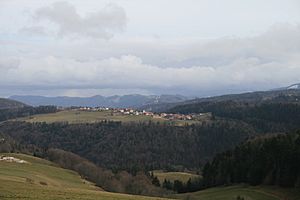
Images for kids
See also
 In Spanish: Saulcy para niños


