Sandcut, Indiana facts for kids
Quick facts for kids
Sandcut, Indiana
|
|
|---|---|
| Nickname(s):
Meltonville
|
|

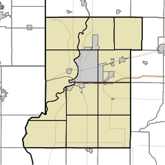
Vigo County's location in Indiana
|
|
| Country | United States |
| State | Indiana |
| County | Vigo |
| Township | Otter Creek |
| Elevation | 525 ft (160 m) |
| Time zone | UTC-5 (Eastern (EST)) |
| • Summer (DST) | UTC-4 (EDT) |
| ZIP code |
47805
|
| Area code(s) | 812, 930 |
| GNIS feature ID | 442993 |
Sandcut is an unincorporated community in Otter Creek Township, Vigo County, in the U.S. state of Indiana. It is part of the Terre Haute metropolitan area. Little Gundy Creek flows on the southeastern side of Sandcut. Sandcut also has a volunteer fire department.
History
Sandcut was founded in 1927, and was so named because of its sandy soil.
Geography
Sandcut is located at the intersection of Rio Grande Avenue and Rosedale Road, at 39°33′53″N 87°19′25″W / 39.56472°N 87.32361°W.

All content from Kiddle encyclopedia articles (including the article images and facts) can be freely used under Attribution-ShareAlike license, unless stated otherwise. Cite this article:
Sandcut, Indiana Facts for Kids. Kiddle Encyclopedia.

