Ratodero facts for kids
Quick facts for kids
Ratodero
|
|
|---|---|
|
Sub district
|
|

Shah Latif Public Library Ratodero
|
|
| Country | |
| Province | Sindh |
| Area | |
| • Total | 138,002 km2 (53,283 sq mi) |
| Population
(2023 census)
|
|
| • Total | 81,935 |
| Time zone | UTC+5 (PST) |
| Calling code | 074 |
| Number of towns | 60 |
| Number of Union councils | 9 |
| Ratodero Government Website | |
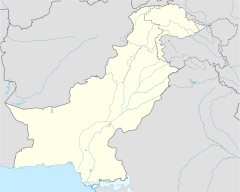
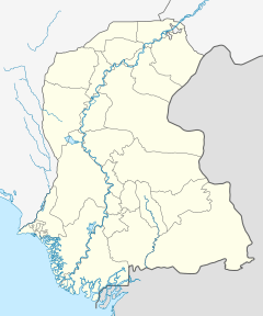
Ratodero (Sindhi: رتوديرو) is the capital of Ratodero Taluka, a sub-division of Larkana District in the Sindh province of Pakistan. Situated some 28 km from the district capital Larkana. Since the independence of Pakistan, the city is known for its sweet products and handmade caps known as Sindhi topi. At present the principal trade of the town is that of paddy and rice, with many rice mills located here.
Contents
Geography
Ratodero is the administrative headquarters of the Taluka of the same name, and is located on the way from Larkana to Shikarpur. As a regional transportation hub, many roads lead from Ratodero to surrounding towns and villages, such as Gharrhi Khairo, Jacobabad, Shahdad Kot, Kamber, MiroKhan, and Naudero.
Demographics
| Census | Population |
|---|---|
| 1972 | 13,292 |
| 1981 | 19,704 |
| 1998 | 40,217 |
| 2017 | 67,502 |
| 2023 | 81,935 |
Administration
Ratodero Taluka is administratively subdivided into 9 Union Councils:
- Behman
- Bunguldero
- Jumo Agham
- Naudero
- Wada Bosan
- Pir Bakhsh Bhutto
- Rarodero-I
- Ratodero-II
- maso Dero
- Waris Dino Machi
- Ahmed Khan Lashari
- Ahmed Khan Jalbani
- Wazir Khan Jalbani
See also
 In Spanish: Ratodero para niños


