Quemado, Texas facts for kids
Quick facts for kids
Quemado, Texas
|
|
|---|---|

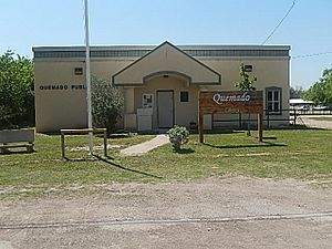
The Quemado Library
|
|

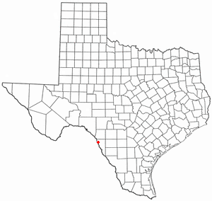
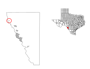
Location of Quemado, Texas
|
|
 |
|
| Country | United States |
| State | Texas |
| County | Maverick |
| Area | |
| • Total | 0.1 sq mi (0.3 km2) |
| • Land | 0.1 sq mi (0.3 km2) |
| • Water | 0.0 sq mi (0.0 km2) |
| Elevation | 784 ft (239 m) |
| Population
(2020)
|
|
| • Total | 162 |
| • Density | 1,600/sq mi (540/km2) |
| Time zone | UTC-6 (Central (CST)) |
| • Summer (DST) | UTC-5 (CDT) |
| ZIP code |
78877
|
| Area code(s) | 830 |
| FIPS code | 48-60092 |
| GNIS feature ID | 1365897 |
Quemado is a census-designated place (CDP) in Maverick County, Texas, United States. Its population was 230 at the 2010 census.
Contents
Geography
According to the United States Census Bureau, the CDP has a total area of 64 acres (26 ha), all land.
Demographics
| Historical population | |||
|---|---|---|---|
| Census | Pop. | %± | |
| 2020 | 162 | — | |
| U.S. Decennial Census 1850–1900 1910 1920 1930 1940 1950 1960 1970 1980 1990 2000 2010 |
|||
2020 census
| Race | Number | Percentage |
|---|---|---|
| White (NH) | 10 | 6.17% |
| Black or African American (NH) | 1 | 0.62% |
| Mixed/Multi-Racial (NH) | 2 | 1.23% |
| Hispanic or Latino | 149 | 91.98% |
| Total | 162 |
As of the 2020 United States census, there were 162 people, 41 households, and 41 families residing in the CDP.
Education
Quemado is served by the Eagle Pass Independent School District.
See also
 In Spanish: Quemado (Texas) para niños

All content from Kiddle encyclopedia articles (including the article images and facts) can be freely used under Attribution-ShareAlike license, unless stated otherwise. Cite this article:
Quemado, Texas Facts for Kids. Kiddle Encyclopedia.


