Pyramid Peak (Montana) facts for kids
Quick facts for kids Pyramid Peak |
|
|---|---|

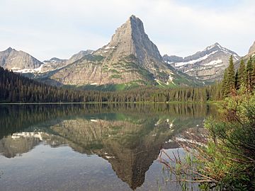
Pyramid Peak, as seen from Glenns Lake.
|
|
| Highest point | |
| Elevation | 8,200–8,280 ft (2,500–2,520 m) |
| Prominence | 760 ft (230 m) |
| Geography | |
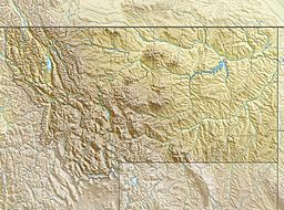
| Location | Glacier County, Montana, United States |
| Parent range | Lewis Range |
| Topo map | USGS Ahern Pass, MT |
Pyramid Peak (8,200–8,280 feet (2,499–2,524 m)) is in the Lewis Range, Glacier National Park in the U.S. state of Montana. Mokowanis Lake lies just northeast of the peak, and Atsina Lake is to the west.

All content from Kiddle encyclopedia articles (including the article images and facts) can be freely used under Attribution-ShareAlike license, unless stated otherwise. Cite this article:
Pyramid Peak (Montana) Facts for Kids. Kiddle Encyclopedia.

