Puerto de Sagunto facts for kids
Quick facts for kids
Puerto de Sagunto
Port de Sagunt
|
|||
|---|---|---|---|
|
Urban nucleus, locality
|
|||

Skyline view of Puerto de Sagunto
|
|||
|
|||
| Country | |||
| Autonomous community | |||
| Province | Valencia | ||
| Comarca | Camp de Morvedre | ||
| Municipality | Sagunto | ||
| Government | |||
| • Body | Ayuntamiento de Sagunto | ||
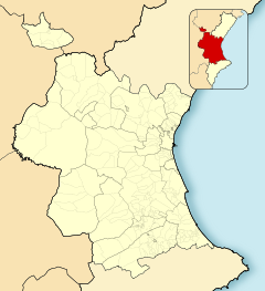
Puerto de Sagunto (Spanish name; Catalan: Port de Sagunt) is a Spanish human settlement pertaining to Sagunto (Valencian Community, Spain), which is located at the mouth of the Palancia river and in the north of the province of Valencia. It is the largest urban nucleus in Camp de Morvedre, with 44,428 inhabitants (2019).
Geography
Located 4 km east-southeast of the old town of Sagunto, it includes the central eastern part of the municipal area, from Av. Ramón y Cajal to the coast. To the north, it borders the municipality of Canet d'en Berenguer and is located to the west of the Mediterranean Sea.
History
It owes its name to the locality's port, from which the industrial and commercial activity developed, which is maintained today. Already during the last third of the 20th century, the operation of the integral steel plant in Sagunto, managed by Altos Hornos del Mediterráneo (1971-1984), was key to its growth, as well as the tourist attraction of the beach of Puerto de Sagunto.
In 2017 the City Council of Sagunto, the Generalitat Valenciana and the Port Authority of Valencia agreed to build a branch of the CV-309 to provide new access to Puerto de Sagunto.
See also
 In Spanish: Puerto de Sagunto para niños


