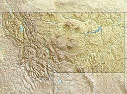
Ptarmigan Lake (Glacier County, Montana) facts for kids
Quick facts for kids Ptarmigan Lake |
|
|---|---|
| Location | Glacier National Park, Glacier County, Montana, US |
| Coordinates | 48°50′40″N 113°42′40″W / 48.84444°N 113.71111°W |
| Type | Natural |
| Primary outflows | Ptarmigan Creek |
| Basin countries | United States |
| Max. length | .15 mi (0.24 km) |
| Max. width | .08 mi (0.13 km) |
| Surface elevation | 6,625 ft (2,019 m) |
Ptarmigan Lake is located in Glacier National Park, in the U. S. state of Montana. Ptarmigan Lake is situated below the Ptarmigan Wall. The lake is a 4.3 miles (6.9 km) hike from the Swiftcurrent Auto Camp Historic District by way of the Ptarmigan Trail. After another .9 miles (1.4 km) hike from Ptarmigan Lake, the historic Ptarmigan Tunnel can be seen.

All content from Kiddle encyclopedia articles (including the article images and facts) can be freely used under Attribution-ShareAlike license, unless stated otherwise. Cite this article:
Ptarmigan Lake (Glacier County, Montana) Facts for Kids. Kiddle Encyclopedia.

