Promised Land, Tasmania facts for kids
Quick facts for kids Promised LandTasmania |
|||||||||||||||
|---|---|---|---|---|---|---|---|---|---|---|---|---|---|---|---|

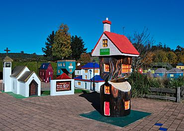
Lower crackpot, 7308 at Promised Land, Tasmania
|
|||||||||||||||
| Population | 44 (2016 census) | ||||||||||||||
| Established | 1859 | ||||||||||||||
| Elevation | 280 m (919 ft) | ||||||||||||||
| Location |
|
||||||||||||||
| LGA(s) | Kentish Council | ||||||||||||||
| Region | North-west and west | ||||||||||||||
| State electorate(s) | Lyons | ||||||||||||||
| Federal Division(s) | Lyons | ||||||||||||||
|
|||||||||||||||
|
|||||||||||||||
Promised Land is a rural locality in the local government area (LGA) of Kentish in the North-west and west LGA region of Tasmania. The locality is about 13 kilometres (8.1 mi) south-west of the town of Sheffield. The 2016 census has a population of 44 for the state suburb of Promised Land.
History
Promised Land was gazetted as a locality in 1957.
Geography
The waters of Lake Barrington form the western boundary.
Road infrastructure
Route C140 (Staverton Road) passes through from north-east to south.

All content from Kiddle encyclopedia articles (including the article images and facts) can be freely used under Attribution-ShareAlike license, unless stated otherwise. Cite this article:
Promised Land, Tasmania Facts for Kids. Kiddle Encyclopedia.


