Preston, Nevada facts for kids
Quick facts for kids
Preston, Nevada
|
|
|---|---|
|
Census-designated place
|
|

Nevada State Route 895 in Preston, July 2014
|
|
| Country | United States |
| State | Nevada |
| County | White Pine |
| Area | |
| • Total | 1.29 sq mi (3.35 km2) |
| • Land | 1.29 sq mi (3.35 km2) |
| • Water | 0.00 sq mi (0.00 km2) |
| Elevation | 5,636 ft (1,718 m) |
| Population
(2020)
|
|
| • Total | 76 |
| • Density | 58.82/sq mi (22.71/km2) |
| Time zone | UTC-8 (Pacific (PST)) |
| • Summer (DST) | UTC-7 (PDT) |
| ZIP code |
89317
|
| Area code(s) | 775 |
| FIPS code | 32-58000 |
| GNIS feature ID | 0845604 |
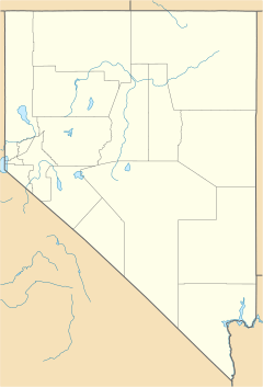
Preston is a census-designated place in White Pine County, Nevada, United States.
Description
Preston was established by Mormon settlers in 1876, and named after William B. Preston, the fourth Presiding Bishop of the Church of Jesus Christ of Latter-day Saints between 1884 and 1907. The community's economy is based on agriculture and ranching. Preston is at an elevation of 5,636 feet (1,718 m). In the 2010 census it had a population of 78.
Demographics
| Historical population | |||
|---|---|---|---|
| Census | Pop. | %± | |
| 2010 | 78 | — | |
| 2020 | 76 | −2.6% | |
| U.S. Decennial Census | |||
See also
 In Spanish: Preston (Nevada) para niños

All content from Kiddle encyclopedia articles (including the article images and facts) can be freely used under Attribution-ShareAlike license, unless stated otherwise. Cite this article:
Preston, Nevada Facts for Kids. Kiddle Encyclopedia.


