Pleasantville, Indiana facts for kids
Quick facts for kids
Pleasantville, Indiana
|
|
|---|---|

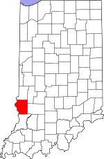
Sullivan County's location in Indiana
|
|
| Country | United States |
| State | Indiana |
| County | Sullivan |
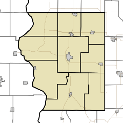
| Township | Jefferson |
| Elevation | 545 ft (166 m) |
| Time zone | UTC-5 (Eastern (EST)) |
| • Summer (DST) | UTC-4 (EDT) |
| ZIP code |
47838
|
| Area code(s) | 812, 930 |
| FIPS code | 18-60732 |
| GNIS feature ID | 441356 |
Pleasantville is an unincorporated community in Jefferson Township, Sullivan County, in the U.S. state of Indiana.
The community is part of the Terre Haute Metropolitan Statistical Area.
History
A post office was established at Pleasantville in 1865, and remained in operation until it was discontinued in 1964.
Geography
Pleasantville is located at 38°58′01″N 87°15′01″W / 38.96694°N 87.25028°W.
Education
Pleasantville's high school, built in 1916, closed in 1965 when it was consolidated into Union High School in nearby Dugger. However, the high school gym, constructed in 1954, is still used by the community. It hosted a Union High School basketball game in the 2014–15 season, with the Union team wearing Pleasantvllle Blue Streak uniforms.

All content from Kiddle encyclopedia articles (including the article images and facts) can be freely used under Attribution-ShareAlike license, unless stated otherwise. Cite this article:
Pleasantville, Indiana Facts for Kids. Kiddle Encyclopedia.

