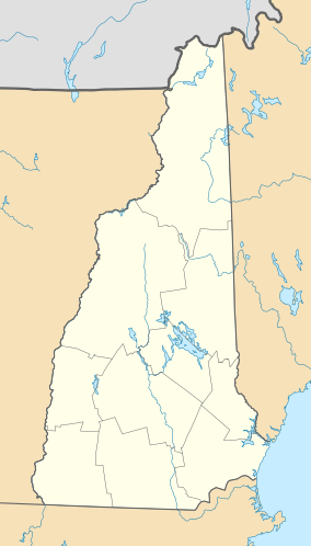
Pisgah State Park facts for kids
Quick facts for kids Pisgah State Park |
|
|---|---|
| Location | Cheshire County, New Hampshire, United States |
| Area | 13,361 acres (5,407 ha) |
| Elevation | 971 feet (296 m) |
| Max. elevation | 1,381 ft (421 m) (Hubbard Hill) |
| Min. elevation | 390 ft (120 m) (Ashuelot River) |
| Designation | New Hampshire state park |
| Established | 1967 |
| Administrator | New Hampshire Parks and Recreation |
| Website | Pisgah State Park |
Pisgah State Park is a 13,300-acre (5,400 ha) public recreation area located in the Cheshire County towns of Winchester, Chesterfield and Hinsdale in New Hampshire. It is the largest state park in New Hampshire and contains a complete watershed north of the Ashuelot River, seven ponds, four highland ridges, numerous wetlands, and a 20-acre (8 ha) parcel of old-growth forest.
Geography
The park occupies portions of three towns in southwestern New Hampshire: 8,320 acres (33.7 km2) are in Winchester, the northern 4,660 acres (18.9 km2) are in Chesterfield, and the westernmost 690 acres (2.8 km2) are in Hinsdale. Elevations in the park range from 120 m (390 ft) above sea level along the Ashuelot River at the southwestern corner of the park to 421 m (1,381 ft) at the summit of Hubbard Hill near the park's northwestern boundary. The largest water body is the 120-acre (0.49 km2) Pisgah Reservoir/Round Pond, west of the center of the park. The 35-acre (0.14 km2) Kilburn Pond is near the western border.
Recreational use
Pisgah State Park is open year round for hiking. Mountain biking, ATV and snowmobile use is permitted on certain trails. There are six trailheads around the park that provide free access to the public.


