Pic de Sanfonts facts for kids
Quick facts for kids Pic de Sanfonts |
|
|---|---|

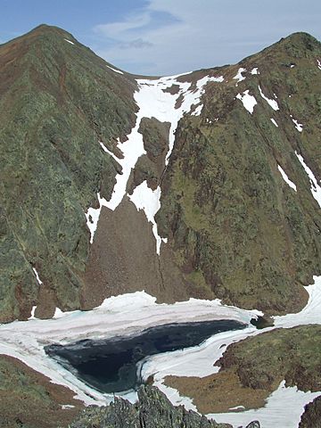
Pic de Sanfonts (left), Agulla de Baiau (right) and Estany Negre.
|
|
| Highest point | |
| Elevation | 2,894 m (9,495 ft) |
| Prominence | 150 m (490 ft) |
| Geography | |
| Location | Andorra |
| Parent range | Pyrenees |
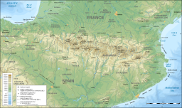
Pic de Sanfonts (Catalan pronunciation: [ˈpiɡ də səmˈfɔns]) is a mountain in the Pyrenees on the border of Spain and northwest Andorra. The nearest town is Arinsal, La Massana. It is a subpeak of, and 1.2 km southwest of, Coma Pedrosa (2942 m), the highest mountain in Andorra.
See also
 In Spanish: Pico de Sanfonts para niños

All content from Kiddle encyclopedia articles (including the article images and facts) can be freely used under Attribution-ShareAlike license, unless stated otherwise. Cite this article:
Pic de Sanfonts Facts for Kids. Kiddle Encyclopedia.
