Pelly Bay facts for kids
This page is about the body of water. For the hamlet formerly known as Pelly Bay, see Kugaaruk. For other uses, see Pelly Bay (disambiguation).
Quick facts for kids Pelly Bay |
|
|---|---|
| Location | Gulf of Boothia |
| Coordinates | 68°53′N 90°5′W / 68.883°N 90.083°W |
| Basin countries | Canada |
| Settlements | Kugaaruk |
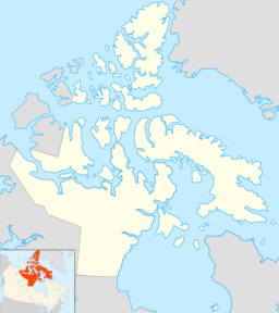
Pelly Bay is an Arctic waterway in Kitikmeot Region, Nunavut, Canada. It is located in the Gulf of Boothia. To the east, it is bounded by the Simpson Peninsula. Helen Island lies in the bay. Pelly Bay is named after Sir John Pelly, governor of the Hudson's Bay Company, that managed the British colony of Rupert's Land, that Pelly Bay was located within when it was named.
The settlement of Kugaaruk is located on the bay's eastern shore. Until 1999, Kugaaruk was also known as Pelly Bay.

All content from Kiddle encyclopedia articles (including the article images and facts) can be freely used under Attribution-ShareAlike license, unless stated otherwise. Cite this article:
Pelly Bay Facts for Kids. Kiddle Encyclopedia.
