New California, Ohio facts for kids
Quick facts for kids
New California, Ohio
|
|
|---|---|
 |
|

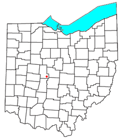
Location of New California, Ohio
|
|
| Country | United States |
| State | Ohio |
| Counties | Union |
| Area | |
| • Total | 2.09 sq mi (5.41 km2) |
| • Land | 2.06 sq mi (5.33 km2) |
| • Water | 0.03 sq mi (0.08 km2) |
| Elevation | 978 ft (298 m) |
| Population
(2020)
|
|
| • Total | 2,225 |
| • Density | 1,081.15/sq mi (417.42/km2) |
| Time zone | UTC-5 (Eastern (EST)) |
| • Summer (DST) | UTC-4 (EDT) |
| ZIP code |
43064
|
| Area code(s) | 614 |
| GNIS feature ID | 2628939 |
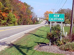
New California is a census-designated place in central Jerome Township, Union County, Ohio, United States. It is located at the intersection of U.S. Route 42 and Industrial Parkway, just south of 42's intersection with U.S. Route 33. The population was 2,225 at the 2020 census.
History
New California was platted in 1853. According to tradition, news of a man passing through the settlement to California caused the name to be selected. The New California Post office was established on January 7, 1850, but was discontinued on May 14, 1904. The mail service is now sent through the Plain City branch.
On September 19, 2009, a new Ohio historical marker was dedicated in New California. The marker symbolizes the fact that 367 men from Jerome Township joined the Union cause, giving it one of the highest per capita rates for service in the nation during the American Civil War, and also the fact that seventeen of those veterans are buried in the community's small cemetery.
Demographics
| Historical population | |||
|---|---|---|---|
| Census | Pop. | %± | |
| 2020 | 2,225 | — | |
| U.S. Decennial Census | |||
See also
 In Spanish: New California (Ohio) para niños

