Mount Riga State Park facts for kids
Quick facts for kids Mount Riga State Park |
|
|---|---|

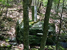
Connecticut-Massachusetts boundary marker in Sages Ravine near Connecticut Route 41 and Mount Riga State Park
|
|
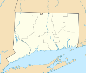
| Location | Salisbury, Connecticut, United States |
| Area | 276 acres (112 ha) |
| Elevation | 886 ft (270 m) |
| Designation | Connecticut state park |
| Established | 1954 |
| Administrator | Connecticut Department of Energy and Environmental Protection |
| Website | Mount Riga State Park |
Mount Riga State Park is an undeveloped public recreation area located in the town of Salisbury, Connecticut. The state park offers opportunities for hiking and bow hunting. The Undermountain Trail connects to the northernmost section of the Appalachian Trail in Connecticut from the trail head at Mount Riga State Park's parking lot on Connecticut Route 41. The park is managed by the Connecticut Department of Energy and Environmental Protection.

All content from Kiddle encyclopedia articles (including the article images and facts) can be freely used under Attribution-ShareAlike license, unless stated otherwise. Cite this article:
Mount Riga State Park Facts for Kids. Kiddle Encyclopedia.

