Mount Pocaterra facts for kids
Quick facts for kids Mount Pocaterra |
|
|---|---|
| Highest point | |
| Elevation | 2,941 m (9,649 ft) |
| Prominence | 461 m (1,512 ft) |
| Geography | |
| Location | Alberta, Canada |
| Parent range | Elk Range |
| Topo map | NTS 82J/11 |
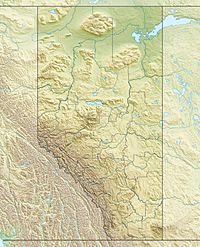
Mount Pocaterra is a rocky formation named after the Pocaterra Creek in the same region. It is located in the Elk Range in Alberta. This peak is located on the crest of the ridge, about 1.5 km north of Mount Tyrwhitt. It is not labelled on the 1:50,000 map. On the map, this is a long, thin, ridge-like peak running north–south. and joined to the lower Mount Tyrwhitt. The peak is reportedly a double summit, with the north summit slightly higher. (On the 1:50,000 map there is no contour shown for the double summit).

All content from Kiddle encyclopedia articles (including the article images and facts) can be freely used under Attribution-ShareAlike license, unless stated otherwise. Cite this article:
Mount Pocaterra Facts for Kids. Kiddle Encyclopedia.
