Mount Independence (Idaho) facts for kids
Quick facts for kids Mount Independence |
|
|---|---|
| Highest point | |
| Elevation | 9,950 ft (3,030 m) |
| Prominence | 350 ft (110 m) |
| Parent peak | Cache Peak |
| Geography | |
| Location | Cassia County, Idaho, U.S. |
| Parent range | Albion Mountains |
| Topo map | USGS Cache Peak |
| Climbing | |
| Easiest route | Simple scramble, class 2 |
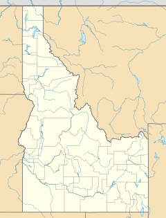
Mount Independence is the second highest peak in the Albion Mountains of Idaho. The peak is located in Sawtooth National Forest and Cassia County. It is located about 1 mi (1.6 km) northwest of Cache Peak. The Independence Lakes are located in the basin to the east of the peak. Mount Independence supports one of the three populations of Cymopterus davisii, a plant that is endemic to the Albion Mountains. The Mount Independence population is considered a single population with Cache Peak. Mount Independence is 9,950 feet (3,030 m) above sea level.

All content from Kiddle encyclopedia articles (including the article images and facts) can be freely used under Attribution-ShareAlike license, unless stated otherwise. Cite this article:
Mount Independence (Idaho) Facts for Kids. Kiddle Encyclopedia.
